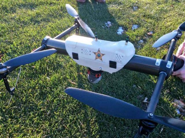
Grand Forks County Sheriff

Aircraft:
AeroVironment Qube
Weight (lb):
5.50lb
Power Source:
Battery
Maximum Flight Time (mins):
40mins
Range (miles):
1miles
Maximum Altitude AGL (ft):
500ft
Imaging Capabilities:
Still
Thermal (FLIR)
Mode C Transponder:
Mission Profile:
The goals of the sUAS Program are:
1. Field testing preliminary concept of operations (CONOPS) for law enforcement deployment of small sUAS.
2. Research of potential applications of small UAS to law enforcement; Capabilities of small UAS; and fine tuning training requirements for small UAS operators.
3. Developing a law enforcement centric sUAS training program.
4. Responding to law enforcement incidents to provide an aerial observation platform for responding officers.
